Neighborhood Guide
Kachidoki / Harumi / Tsukishima
It is easy to describe this part of Chuo-ku as a single waterfront tower market. On foot, it is three different decisions. Kachidoki offers a subway station and a dense cluster of residential towers. Harumi opens toward the bay with a newer, more planned residential setting, but the exact walk to rail becomes a bigger part of daily life. Tsukishima retains smaller streets and shops alongside newer apartment blocks, with two subway lines at its station. A relocation search should begin with the route you actually take each morning, then move to the view.
The short version: choose Kachidoki for tower stock and direct Oedo Line access; Harumi for a newer waterfront environment if bus or BRT travel fits your routine; Tsukishima for an older street grid and the additional Yurakucho Line. Check the building's exact entrance, not just its postal neighborhood.
Kachidoki: the tower district at water level
The scale of Kachidoki is easiest to understand beside the canals. Residential towers rise immediately above promenades, bridges, and planted spaces. From a high floor the water reads as open space; at street level it also determines which bridge, crossing, and station entrance you use. Two buildings that look adjacent on a map can produce quite different walks to the Oedo Line when a canal sits between them.
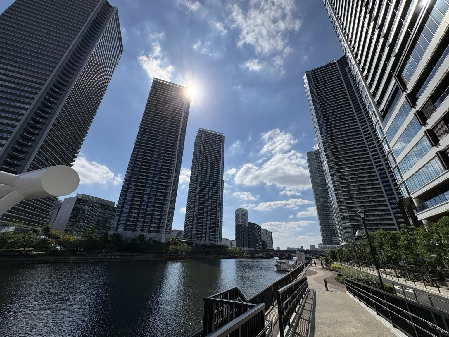
For a client, the useful questions are concrete: how long is the door-to-platform journey at commute time, is the route exposed to wind or rain, and where are the supermarket and childcare stop relative to home? The amenity floor matters, but it rarely compensates for an inconvenient route repeated twice a day. Visit once in daylight and once around the hour you would normally return.
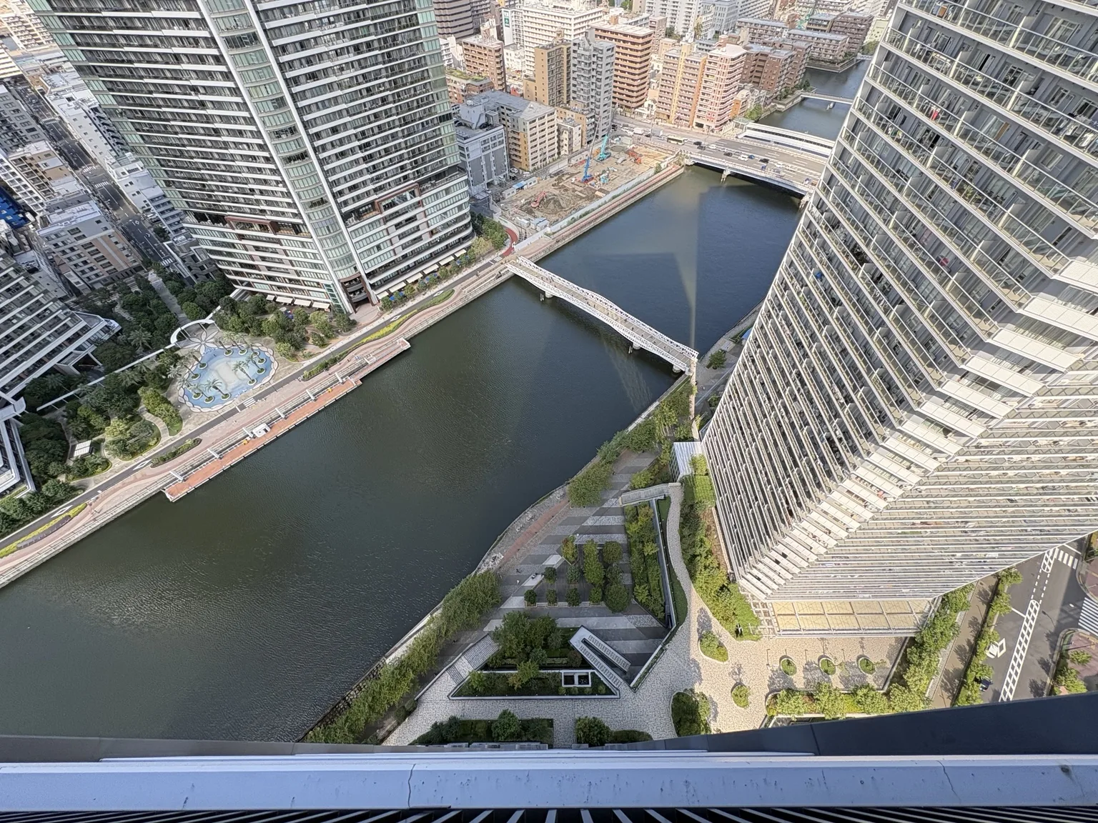
Harumi: more space, more attention to the last mile
Harumi's recent residential growth, including the former Olympic Village area, makes it feel more deliberately planned than older Tsukishima. The wider horizons and water's edge are real attractions. So is the difference between living near Kachidoki Station and farther out toward the waterfront: the latter makes the bus, Tokyo BRT, cycling, or a longer walk part of the transport calculation. Tokyo BRT connects HARUMI FLAG with Shimbashi on its athletes' village route, but check the current timetable and the actual stop nearest the building before treating it as a subway substitute.
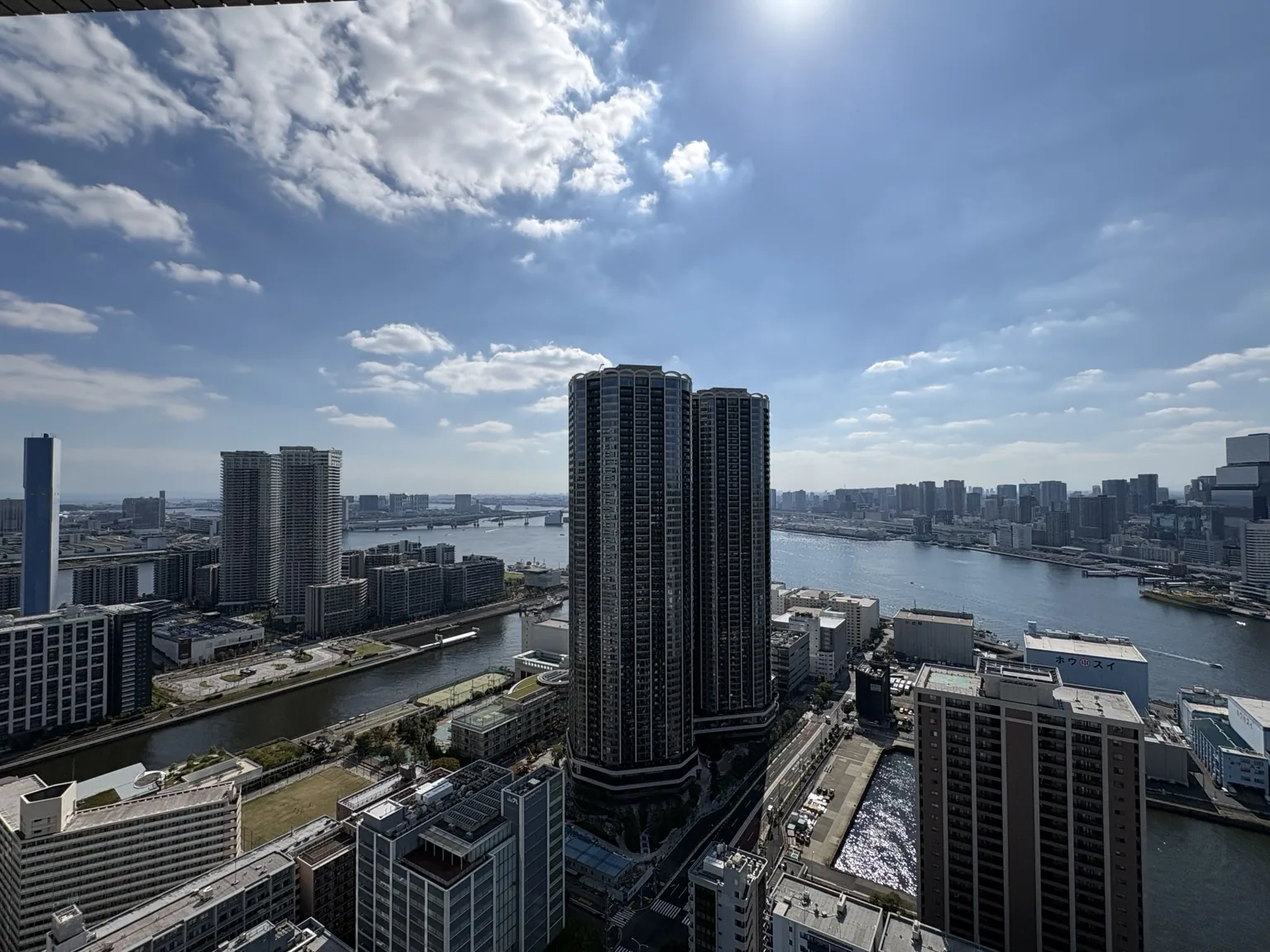
Even within a large development, tower position, daylight and the ground-floor facilities change the experience. A bay-facing unit and a canal-facing unit may have different views and exposure. Walk the approach from the transit stop and the nearest everyday shops before comparing floor plans.
Tsukishima: the street network between the towers
Tsukishima is often introduced through Nishinaka-dori's monjayaki restaurants. That is a recognizable part of the neighborhood, but a resident's map includes ordinary side streets, local shops, canal crossings, and the route to the station. Unlike Kachidoki, Tsukishima Station serves both the Oedo and Yurakucho lines. The extra line can make a meaningful difference for a commute toward Yurakucho, depending on the destination and transfers.
The area is changing too: older low-rise blocks and newer towers sit close together. Do not assume every Tsukishima address has the same quiet or restaurant foot traffic. If you want the older neighborhood feel, stand outside the actual building at dinner time and on a weekend, not only on the main shopping street.
Getting around without a misleading map
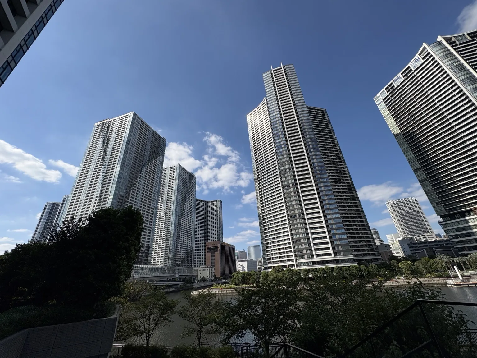
Kachidoki Station is on the Toei Oedo Line; Tsukishima adds the Tokyo Metro Yurakucho Line. Harumi has Tokyo BRT and regular bus options, with the journey changing materially by block and destination. Test the full journey — lobby, footbridge, platform or stop, transfer, and final walk — for the office or school you actually use. A straight-line distance across water is particularly unhelpful here.
What to inspect before signing
In a tower, ask for the actual orientation, nearby construction outlook, elevator transfer pattern, delivery arrangements, and route to shops and schools. In this low-lying waterfront district, review Chuo City's current water hazard maps and the building's emergency and power-continuity plan for the specific address. A photograph cannot tell you how a building operates on an ordinary wet weekday or during a disruption.
Use the Toei station information, Tokyo BRT timetable, and Chuo City disaster portal to check current travel and hazard details before deciding.
TokyoExpat's Take
Kachidoki / Harumi / Tsukishima
Start at Tsukishima's older streets, cross toward Kachidoki's canal-side towers, and continue out to Harumi. That short tour makes the trade-off legible: neighborhood grain, rail access, and waterfront scale do not arrive in the same proportions at every address. We compare the exact building and commute, not a generic “bay area” label.